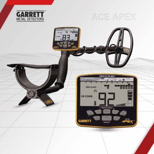
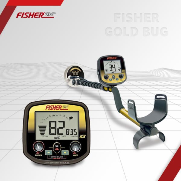
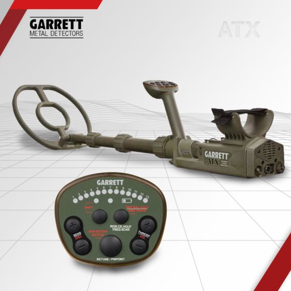
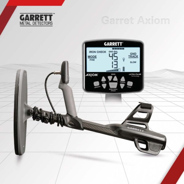
Device features
Combines precision to get smaller sizes of metal Such as gold and raw strength to penetrate the depths to uncover what factory And buried meters up to 6 meters below the surface of the ground to be explored with ease and accuracy Microchannel with the possibility of tariff and set to work at all no matter how different soil types and soil rugged terrain.
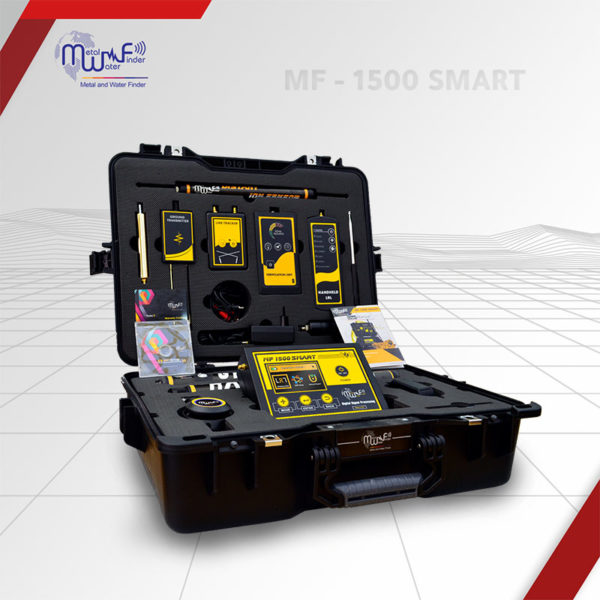
The main device unit
Key device driver
Key to calibrate the device on the soil
Key (SELECT) to calibrate the device software
(MENU) key to control internal programming system of the device Entrance to connect the battery
Entrance to connect tablets search
Entrance to save the reference device is connected (saved images)
Find search coils
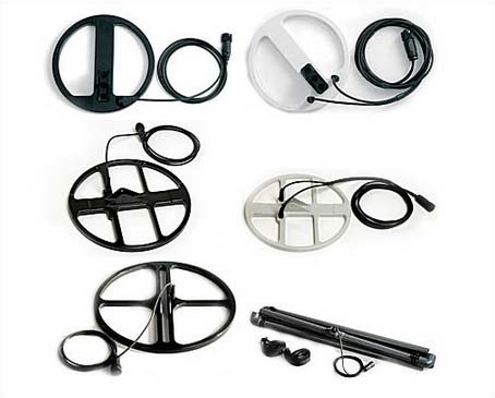
- 26 centimeter research disk to detect small pieces – gold ore And scattered coins for shallow depths and research disk (35 cm) to discover small sizes with more depths.
- 35 centimeter research disk to detect small sizes for greater depths.
- 45 centimeter research disk and is used to detect small sizes to a depth of Up to 1 meter below the soil surface.
- 1 x 1 m research disk up to a depth of 4 meters below the earth’s surface The advantage of ignoring small metal sizes – and cutting nails Ferrous scattered in the soil.
- 2 x 1m research disk meter is easily installed and used to penetrate Depths of up to Devin at a depth of up to 8 meters of what has been buried – Effects and treasures.
- Electricity Cable 0.67 × 0.67 – 1 × 1 – 1 × 2 and can be arranged to 3 Or 4 laps for the detection area of up to 12 square meters.
- Electricity Cable 1 × 1 – 1.5 × 1.5 – 3 × 3 and can be arranged to 3 Or 4 laps for the detection area of up to 12 square meters.
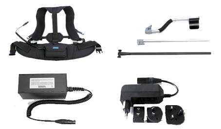
- Rechargeable Battery
- 240 volt battery charger
- The carrier arm of tablets Search
- Belt suitable for all users to easily carry the device and battery
- USB device to store and transfer information to the mobile device
Operation of the device
After you connect the device and prepare for the process of detecting device is turned on And adjust its sensitivity for sound and lighting level and disk Find that connect . calibrate the device Automatic the nature Soil and take a tour of research and when you get a goal can be determined Location via GPS program the GPS device and save Me and the process is done this way until the end of the journey to find The landing zone. Taken a hard drive that is stored information
(Flash Memory) and placed on the mobile device and through the program Analysis attached to the device captured images are analyzed to see the quality Metal finder and depth of content in which the program operates on Showing images in spectral (3D) to get through the result of our research
Note : Additional accessories (tablets search – Computer Transfer – Find cables – big disk) all the accessories this extra And freedom in the event of client wishes to purchase any of them Where the device is available with adequate basic accessories for Impressive results.


